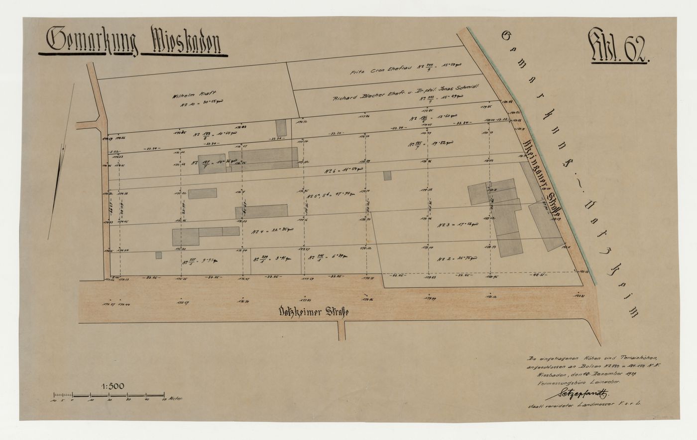
Topographic survey of existing conditions for a housing estate, Wiesbaden, Germany
10 December 1929
Graphite with brown and green pencil
sheet: 42.8 x 71.4 cm
DR1984:1315
inscribed and numbered - by the draughtsman, in pen and black ink, u.l.: "Gemarkung Wiesbaden" [underlined]; u.r.: "Abl.62" [underlined]; c.l.: with compass direction; and l.l.: with scales; inscribed and dated - by an unknown hand, in pen and black ink, l.r.: "Die eingetragenen Höhen sind Terrainhöhen, / angeschlossen an Bolzen No. 880 = 184 180 N.N. / Wiesbaden, den 10. Dezember 1929. / Vermessungsbüro Leinweber. / Setzepfandt. / staatl. vereideter Landmesser V.s.v.L."; and throughout: with dimensions, street names and specifications
© Estate of Mart Stam
Sign up to get news from us
Thank you for signing up. You'll begin to receive emails from us shortly.
We’re not able to update your preferences at the moment. Please try again later.
You’ve already subscribed with this email address. If you’d like to subscribe with another, please try again.
This email was permanently deleted from our database. If you’d like to resubscribe with this email, please contact us
Please complete the form below to buy:
[Title of the book, authors]
ISBN: [ISBN of the book]
Price [Price of book]
Thank you for placing an order. We will contact you shortly.
We’re not able to process your request at the moment. Please try again later.